The HighlandTraverse
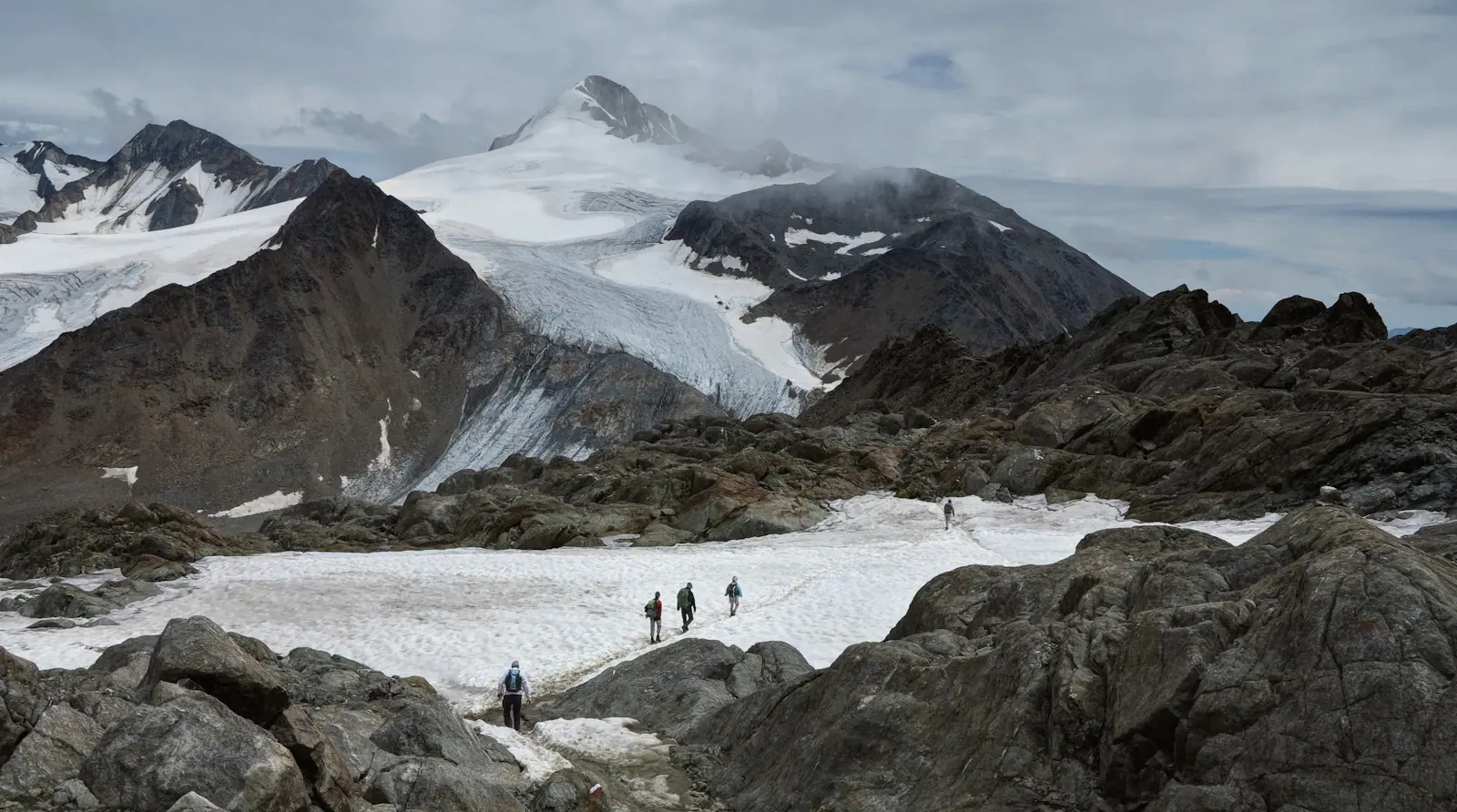
The Laugavegur is Iceland’s most famous walk. We add the Fimmvörðuháls pass between two glaciers and a rest day in Þórsmörk, and we walk it only in July and August, when the huts are staffed and the rivers are low. We carry daypacks. A truck carries the rest.
- Region
- Icelandic Highlands
- Length
- 9 days, 8 nights
- Group
- 4 to 8, two guides
- Fitness
- 4 of 5, long days
- Season
- July and August
- Walking
- 79 km over six days
Itinerary
-
Day 1
Reykjavík to Landmannalaugar
Highland road F208
A 4×4 bus takes us up the F208 through three river fords and a desert of black pumice, 4.5 hours. Lunch at the Sigalda dam and a first swim in the geothermal stream at Landmannalaugar, a short walk from camp.
-
Day 2
Bláhnúkur and the rhyolite hills
Landmannalaugar
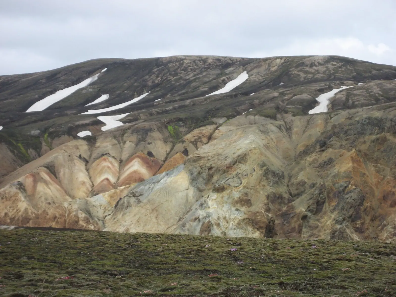
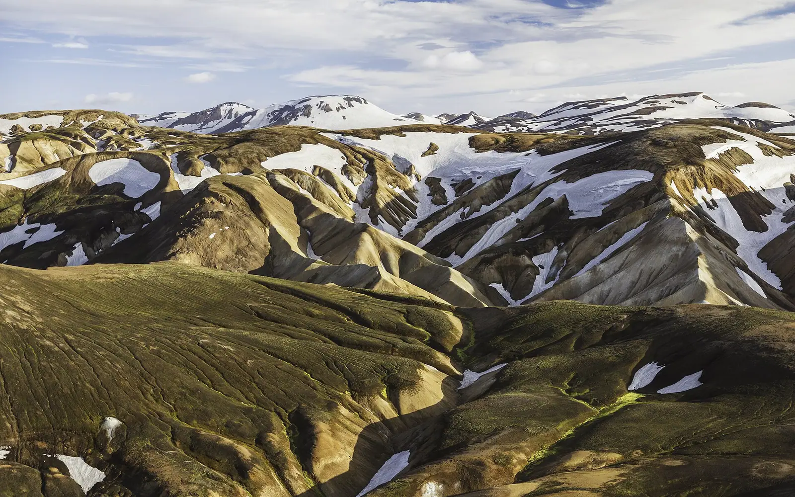
A warm-up loop over Brennisteinsalda’s steaming slopes and up Bláhnúkur (943 m), with the whole yellow-red-green range in view. Back by 15:00 for the hot river.
-
Day 3
Over the obsidian field
Landmannalaugar to Hrafntinnusker
The first long climb. We cross Laugahraun lava and the Stórihver steam vents, and pass the first snowfields below Hrafntinnusker. The hut sits at 1,070 m and the wind is not shy.
-
Day 4
Down to the lake
Hrafntinnusker to Álftavatn
A long descent over snow and ash to Jökultungur, with views to Hekla. Then the green valley of Álftavatn, our lake of swans. The river crossing before the hut is knee-deep, so we wear sandals.
-
Day 5
Rivers and the black desert
Álftavatn to Emstrur
Across Hvanngil and the Bláfjallakvísl, then through the Emstrur black sands toward the Markarfljót gorge, where the water has cut a canyon 200 m deep. Remote, quiet, dry in July.
-
Day 6
Into Þórsmörk
Emstrur to Þórsmörk
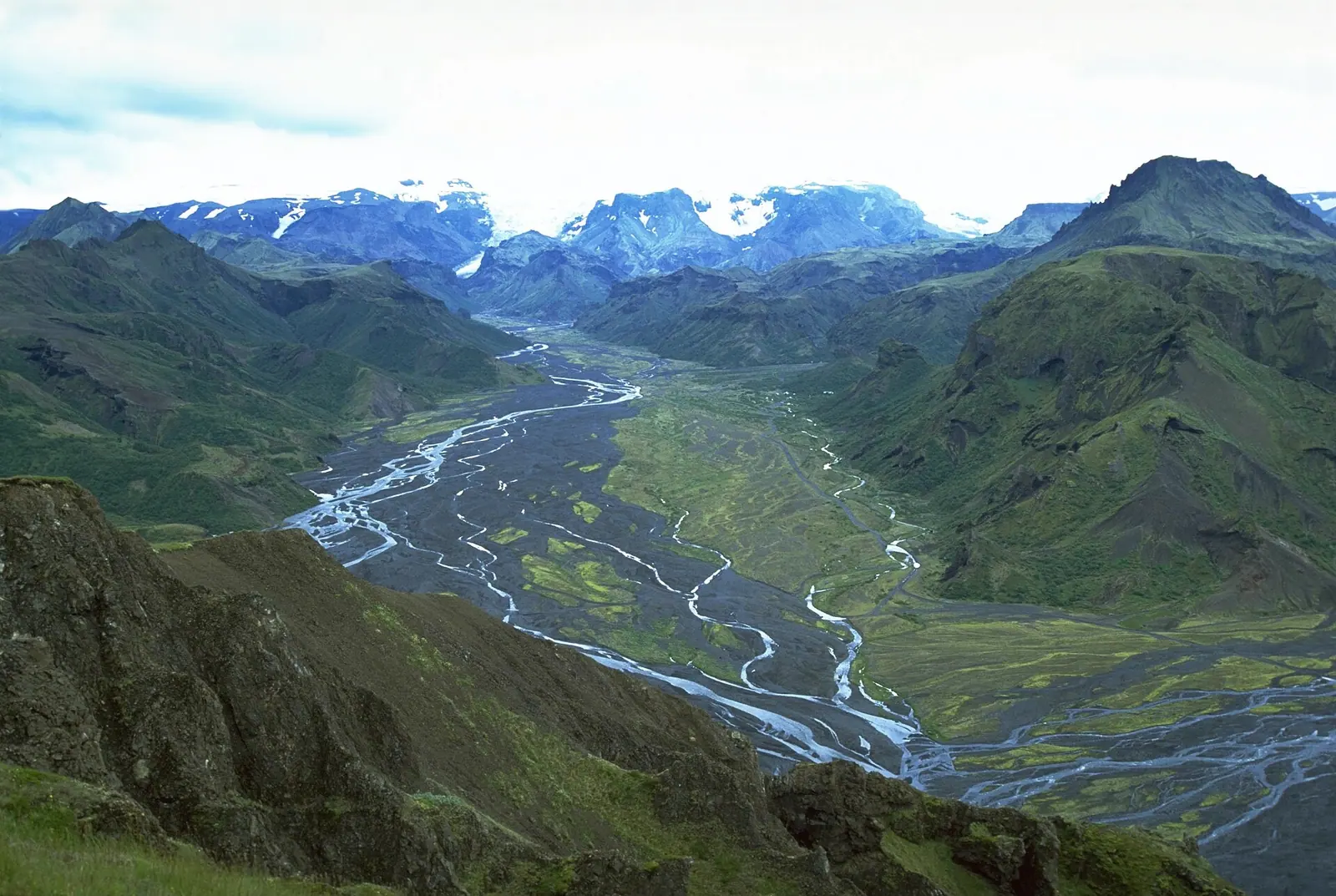
Through Markarfljótsgljúfur, then into the birch-and-mist valley of Þórsmörk, named for Thor. We cross the Þröngá by footbridge and settle at Langidalur for a hot meal and an early night.
-
Day 7
A rest day in the valley
Þórsmörk
Choose between Valahnúkur (458 m), the canyon at Stakkholtsgjá, or lying in the sun. A good day for blisters, laundry and the guide’s evening talk on how this valley was flooded by the 2010 Eyjafjallajökull eruption.
-
Day 8
Fimmvörðuháls to the sea
Þórsmörk to Skógar
The long day. A steep climb out of the birch scrub, then the snowfields between Eyjafjallajökull and Mýrdalsjökull, with ropes and axes from our kit. Past the 2010 craters, Magni and Móði, then twenty waterfalls down the Skógá to Skógar.
-
Day 9
Skógar to Reykjavík
South coast
A late breakfast, a stop at Seljalandsfoss, then the road to Reykjavík, arriving about 15:00. Your boots may leave Iceland a different colour.
Route map
Landmannalaugar to Skógar. Stops are overnight places or the walking days that matter.
What is included
Included
- 8 nights: 6 in mountain huts with bunks and 2 in guesthouses, all in shared rooms
- All meals from lunch on day 1 to breakfast on day 9
- Two Nordvik guides, both with mountain and river-crossing training
- Luggage transport between huts, daypack only on the trail
- Transport from Reykjavík and back, including F208 highland bus
- Glacier gear for the Fimmvörðuháls snowfield: ropes, axes, crampons if needed
- Hut fees and a satellite messenger for the group
Not included
- International flights to Keflavík (KEF)
- Sleeping bag (hire for €40) and trekking poles (hire for €20)
- Travel and rescue insurance, which is compulsory
- Nights in Reykjavík before and after
- Drinks and extra snacks
Gear and fitness
Level 4 of 5 Demanding
Six days on foot, five to eight hours a day, over loose ash, snow and river crossings. The longest day is 25 km and 1,000 m of ascent. You should be able to carry a 7 kg pack for eight hours a day for a week. Training: hills, with a pack, for 8 weeks.
Footwear
- Mid or high waterproof walking boots, broken in
- Camp shoes or sandals for river fords and hut life
- Four pairs of wool socks and gaiters
On the body
- Waterproof jacket and trousers (they will be tested)
- Two merino base layers, one fleece, one light down jacket
- Quick-dry hiking trousers, two pairs
- Warm hat, buff, light gloves, sun hat
- Sunglasses and sun cream
Carry
- A 28 to 35 litre daypack with a rain cover
- Sleeping bag liner (hut mattresses are provided, sleeping bags are not)
- Two 1-litre bottles and a water-purification tablet pack
- Headlamp, blister kit, 12 energy bars, personal first-aid
- Towel for the hot springs
We supply
- Ropes, axes, crampons and helmets for the snowfield day
- Group first-aid kit, spare food and a satellite messenger
- Luggage trucks between huts
A full packing list with brands we trust is in Planning.
Weather and season
Dates and prices
| Dates | Length | Availability | Price per person | Action |
|---|---|---|---|---|
| 3 to 11 Jul 2027 | 9 days | 2 places left | €4,200 | Enquire about 3 to 11 Jul 2027 |
| 17 to 25 Jul 2027 | 9 days | 4 places left | €4,200 | Enquire about 17 to 25 Jul 2027 |
| 31 Jul to 8 Aug 2027 | 9 days | 6 places left | €4,200 | Enquire about 31 Jul to 8 Aug 2027 |
| 14 to 22 Aug 2027 | 9 days | 8 places left | €4,200 | Enquire about 14 to 22 Aug 2027 |
Prices are per person in a twin room or shared cabin, in euros. Single supplement €390. A 20% deposit secures your place; the balance falls due 60 days before departure. Groups run with 4 guests or more. Booking terms
Questions
Can I do it if I have never trekked for nine days?
It helps to have done a two-day trek with a loaded pack. If you have done none, train, and tell us. The long days are manageable if you walk at the pace of the group.
What about the river crossings?
Most are knee-deep and cold. We cross in sandals, face upstream, and cross in a line with poles. In a wet July the guides can re-route or use the support truck. The only unbridged one that matters is the Bláfjallakvísl.
Are the huts comfortable?
They are basic and warm. Bunk beds, gas kitchens, flush toilets, and a shared main room. At Landmannalaugar, a hot spring. Bring earplugs.
Is it a glacier trip?
The Fimmvörðuháls pass crosses snowfields on the edge of two glaciers, roped. It is not technical, but we do it in the guides’ hands.
Where do I leave luggage?
At the Nordvik office in Reykjavík, or at your hotel. A small duffel (up to 12 kg) travels with us between huts.
Photographs
Ask about
The Highland Traverse
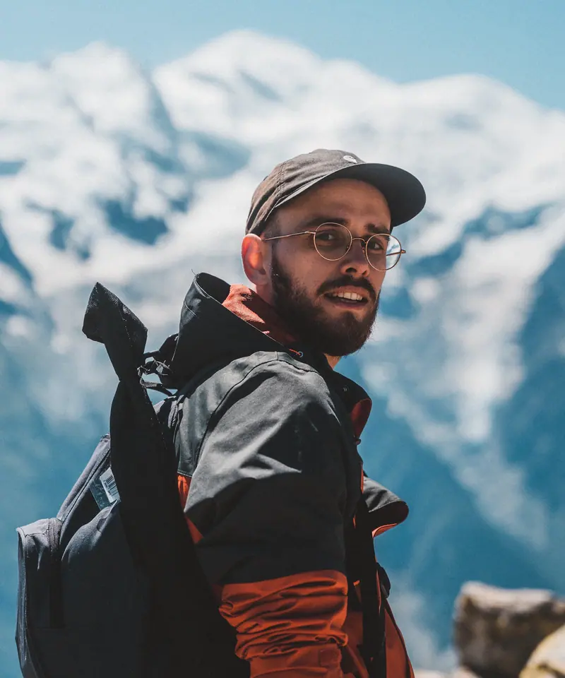
Gunnar ÞórissonHighland trek leader, Skógar, Iceland. Meet Gunnar
A guide, not a sales desk, will answer within two working days. Tell us when you can travel.
Enquire about this tripFrom the journal: A wet July on the Laugavegur