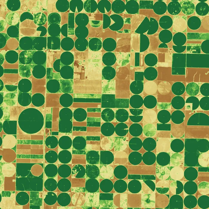
Harrow Agri: crop vigour across 410,000 hectares
Harrow sells field-level yield forecasts to grain traders. Two multispectral satellites revisit every field every 36 hours, and the vegetation index feeds the forecasting model automatically.
Perihel builds, launches and operates the satellite. You choose the sensor and the area, pay one monthly fee, and receive calibrated imagery in your own cloud account.
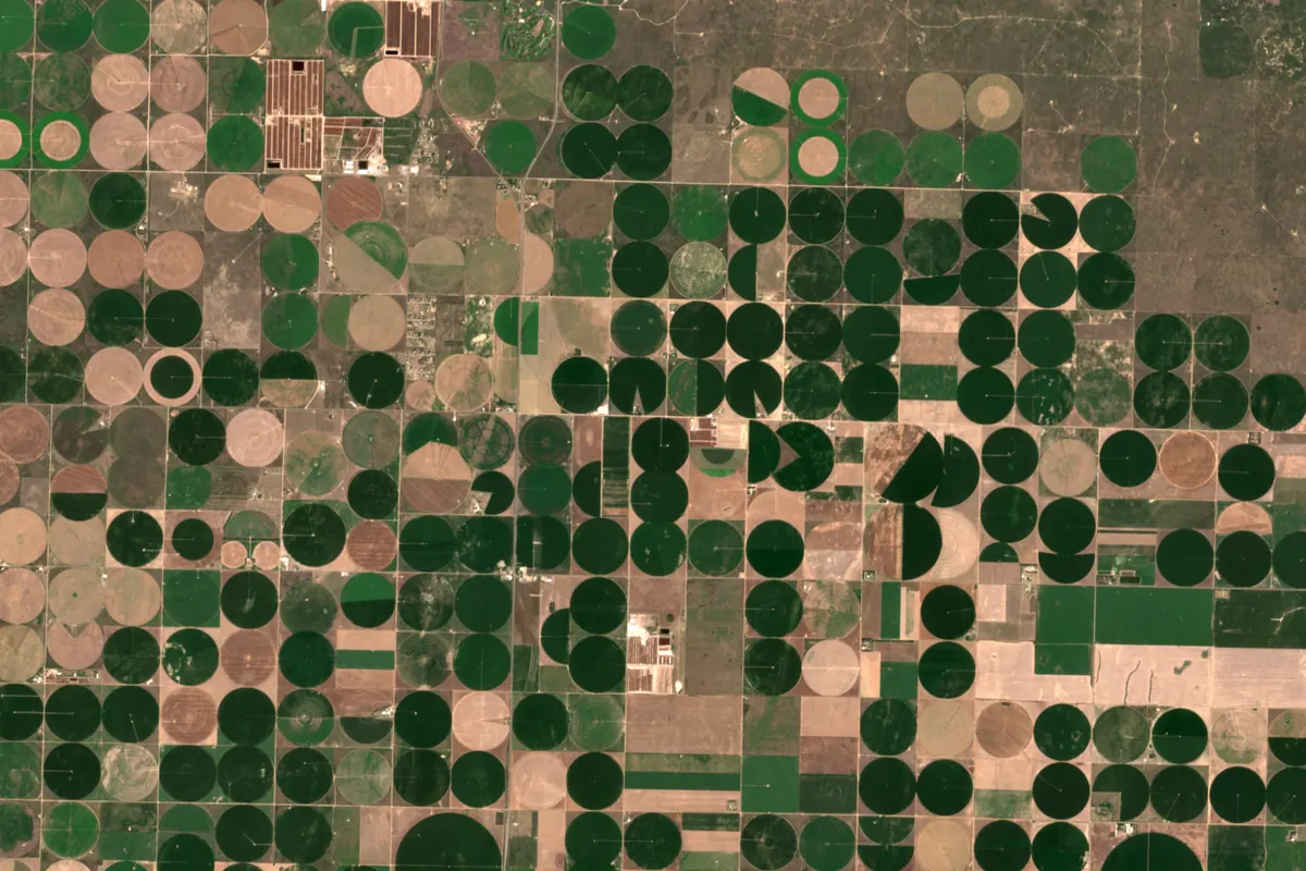
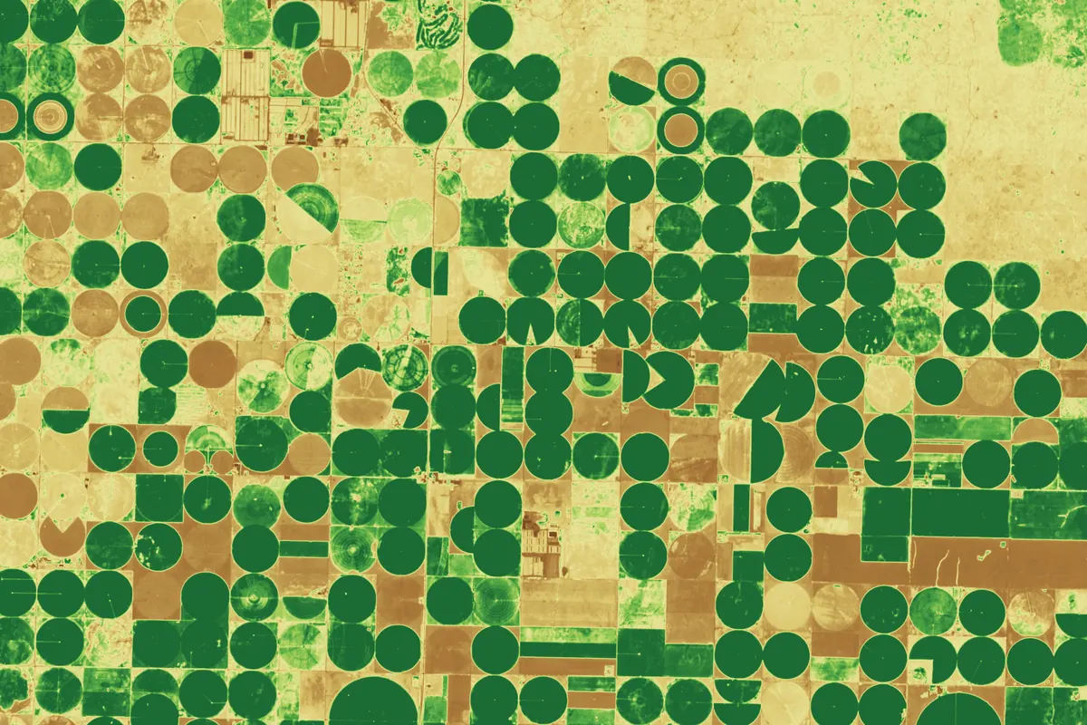
Flying with Perihel
Owning an Earth observation satellite normally means a manufacturer, a launch broker, a licence, a ground network and an operations team. We hold all five and sell the result as a service.
You set the sensor, the area of interest and how often you need to see it. We check it against orbit and downlink capacity.
Your payload is integrated on a bus that has flown 41 times. Nothing new is designed, so schedule and risk stay predictable.
Seats are booked on rideshare missions at contract signature, with a backup seat on a second vehicle.
Two control rooms fly the satellite, plan your tasking and look after orbit, power and thermal health.
Calibrated products land in your cloud bucket or arrive through our API, encrypted from satellite to account.
Pick the payload that answers your question. Every frame is a standard Perihel product type; each links to its full specification.
| Example | Sensor | Resolution | Swath | Revisit, one satellite | Best for |
|---|---|---|---|---|---|
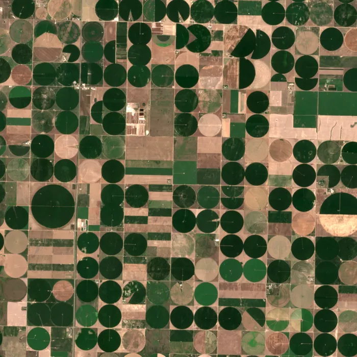 | Optical | 0.9 m | 14 km | 3 days | Buildings, roofs, change detection |
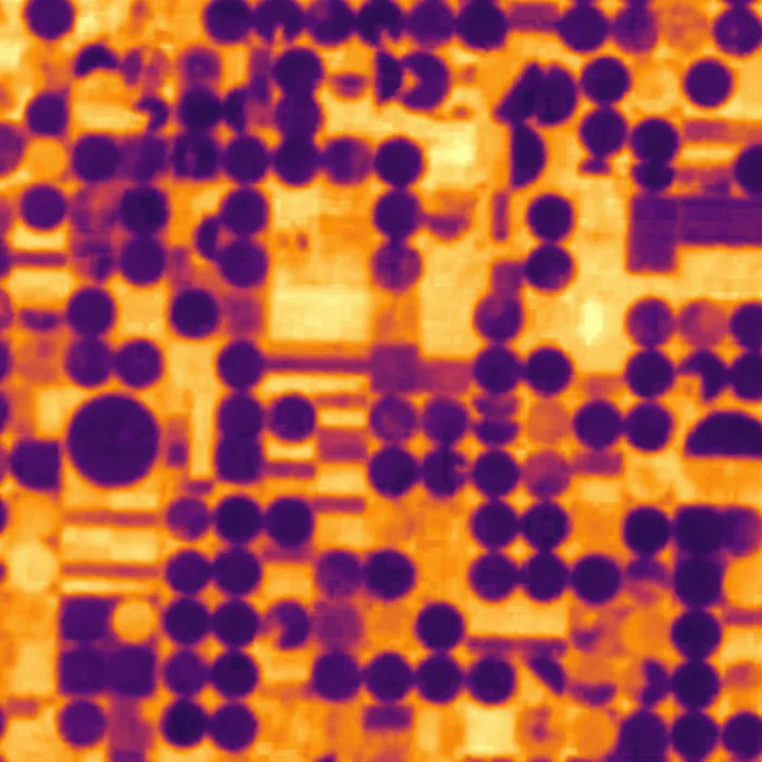 | Thermal | 12 m | 22 km | 4 days | Heat, irrigation, industrial sites |
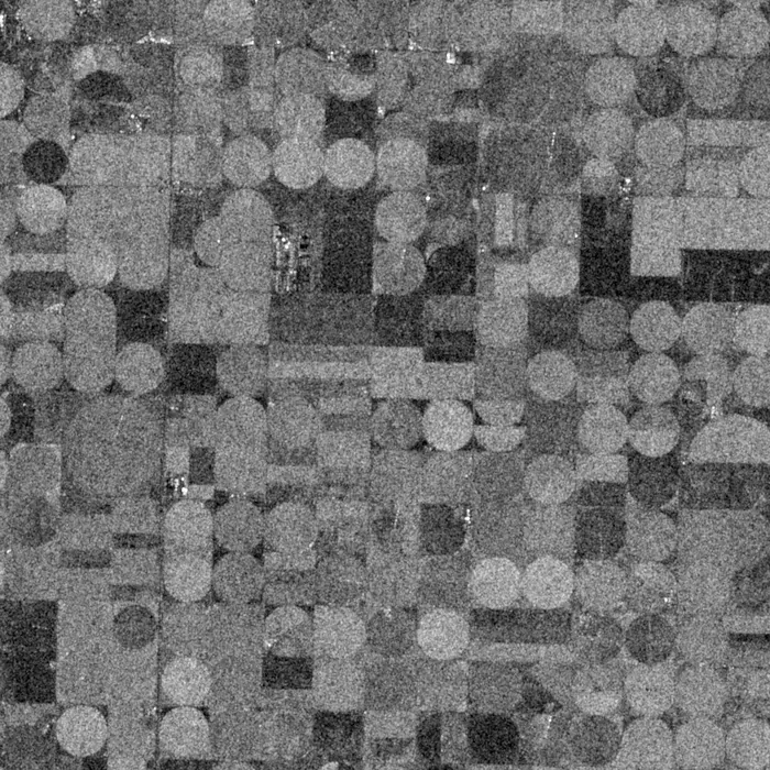 | Radar (SAR) | 3 m, 1 m spot | 30 km | 3 days, any weather | Floods, ships, ground motion |
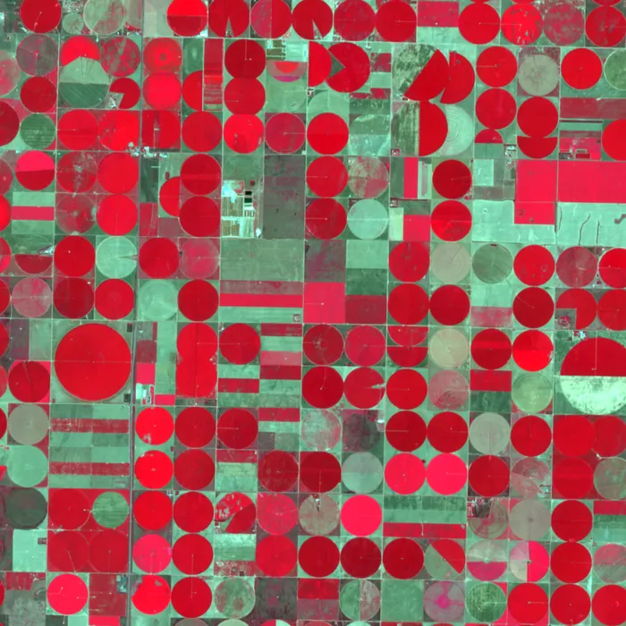 | Multispectral | 5 m | 45 km | 2 days | Crops, forests, water quality |
Three of the 23 customers, and what they use their satellites for.
Harrow sells field-level yield forecasts to grain traders. Two multispectral satellites revisit every field every 36 hours, and the vegetation index feeds the forecasting model automatically.
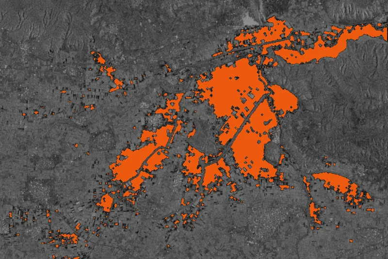
Lumen's claims team receives a flood extent map before the water has gone down, cloud or not. Radar passes at dawn are delivered about 40 minutes after downlink.
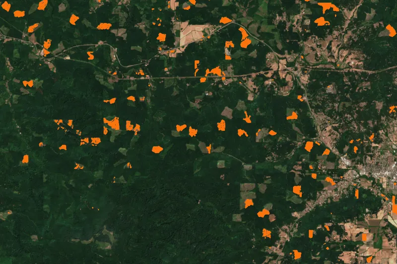
Atlas compares monthly multispectral composites against its harvest plans. Unplanned clearing is flagged within a week and sent to field teams as a polygon.
Mission images are open data standing in for each customer's product: Copernicus Sentinel-2 (Kansas, Oregon) and Sentinel-1 (Thessaly, Greece), processed by Perihel. Customers and figures are invented.
Perihel was founded in 2019 by engineers from national space agencies and commercial manufacturers. The fleet has been in continuous operation since the first launch.
| Date | Launch provider | Satellites | Orbit | Payloads |
|---|---|---|---|---|
| Oct 2024 | Halden Launch Services | 6 | SSO, 525 km | 2 optical, 2 radar, 2 multispectral |
| Mar 2024 | Kestrel Orbital | 4 | SSO, 520 km | 3 radar, 1 thermal |
| Nov 2023 | Halden Launch Services | 5 | SSO, 525 km | 3 multispectral, 2 optical |
| Jun 2023 | Meridian Space | 3 | SSO, 510 km | 2 optical, 1 thermal |
An engineer replies with a first assessment of orbit, sensor and monthly fee.