Atlas Forestry: canopy change on managed land
Atlas compares monthly multispectral composites against its harvest plans. Unplanned clearing is flagged within a week and sent to field teams as a polygon.
- Customer
- Atlas Forestry, timber owner
- Sensor
- Multispectral, 5 m
- Fleet
- 1 satellite
- Area
- 312,000 ha of managed forest
- Live since
- November 2023
The problem
Atlas manages working forest in a patchwork of ownerships. Harvest plans say what should be cut and when; roads, fire and neighbours decide what actually happens. Unplanned clearing is found late, usually by chance on a site visit, and every month of delay costs timber and compliance risk.
Walking or flying the boundary of 312,000 hectares once a year was the only check.
The setup
Atlas loads its approved harvest units into the pipeline. Anything that changes outside an approved unit is a flag. A forester confirms or dismisses it on the ground and the answer feeds back into the detector.
| Payload | 1 multispectral satellite (PH-M), 2-day revisit |
|---|---|
| Area | 312,000 ha, imaged on every pass, clouds permitting |
| Products | Monthly cloud-free composites, change layer against the previous year, GeoJSON polygons |
| Detection | Drop in near-infrared and shortwave signal above a threshold, then a size filter |
| Delivery | Polygons into Atlas's GIS and the field team's tablets, within a week of the clearing |
| Term | 3 years |
What the satellites saw
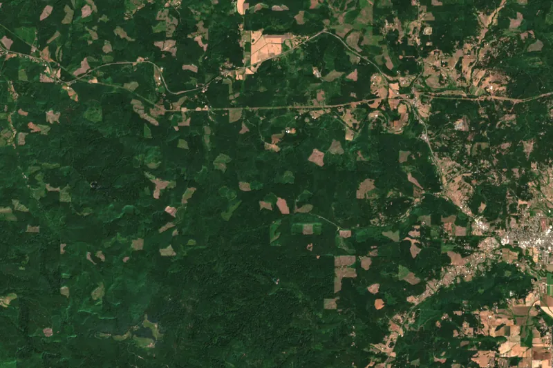
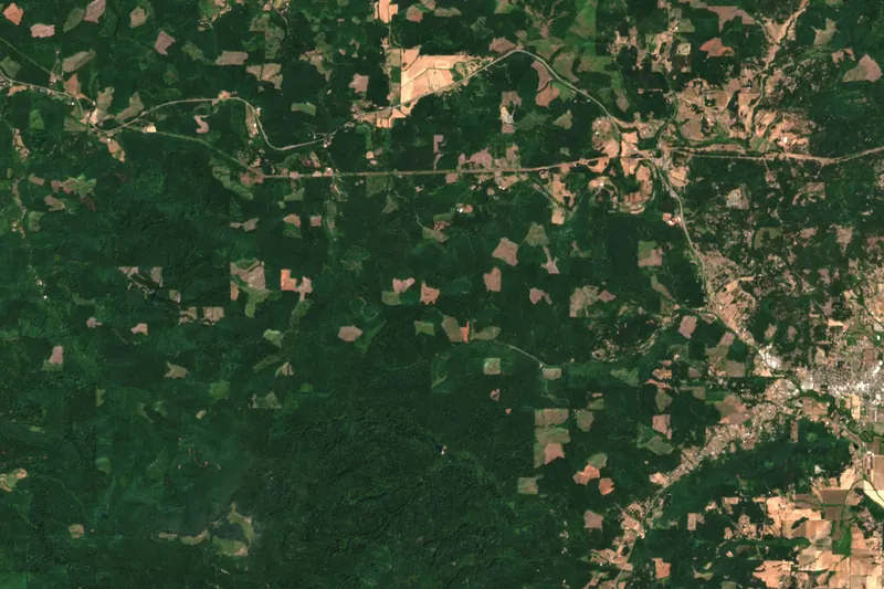
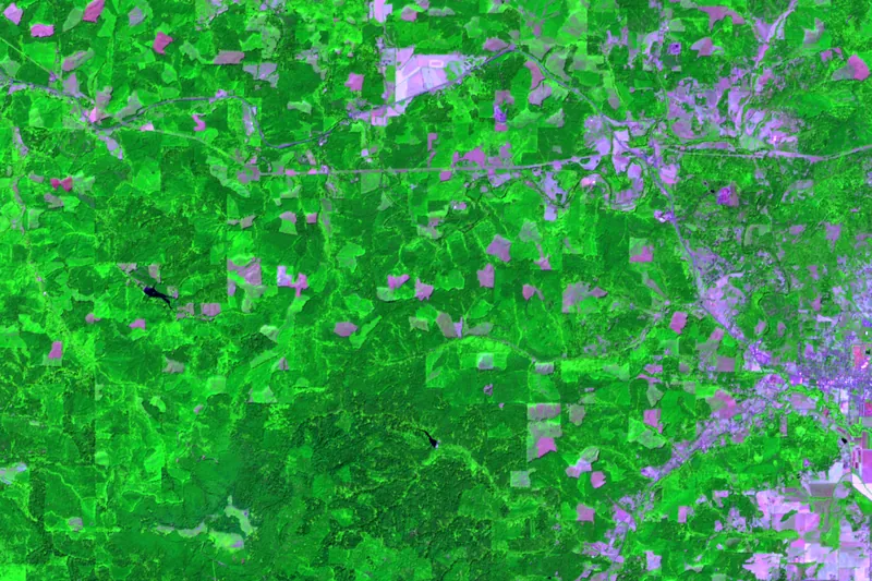
Natural colour, 19 July 2021: a patchwork of conifer stands and older clearings. Imagery: Contains modified Copernicus Sentinel data (2021, 2025), Sentinel-2 L2A, Oregon Coast Range. Change layer derived by differencing the normalised burn ratio; illustrative.
Results
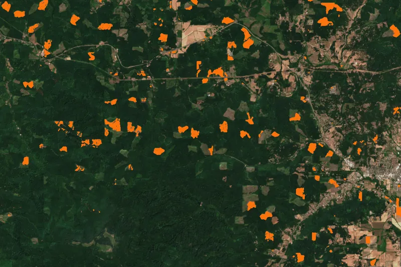
Change detection flags anything bright in the change layer; the forester decides what it is. In the frame above about 850 ha changed in four years, mostly square patches that follow ownership boundaries, the signature of planned harvest.
- Detection lag
- 7 days, down from 11 months
- Area flagged in frame
- 850 ha
- False alarms after tuning
- 6%
- Field visits saved
- about 40%
| Before | One airborne survey of the boundary per year; unplanned clearing found by chance |
|---|---|
| After | Monthly composites, weekly flag review, polygons on the forester's tablet |
| Compliance | Audit trail from flag to site visit to decision |
| Cost | Less than one year of aerial survey per year of satellite service |
The first month, we found a neighbour's road crossing our block. That alone paid for the quarter.
Customer, quotes and figures are invented for this concept site.
Could this work for your area?
Send us the region and the question; we will tell you which sensor and fleet size it takes.