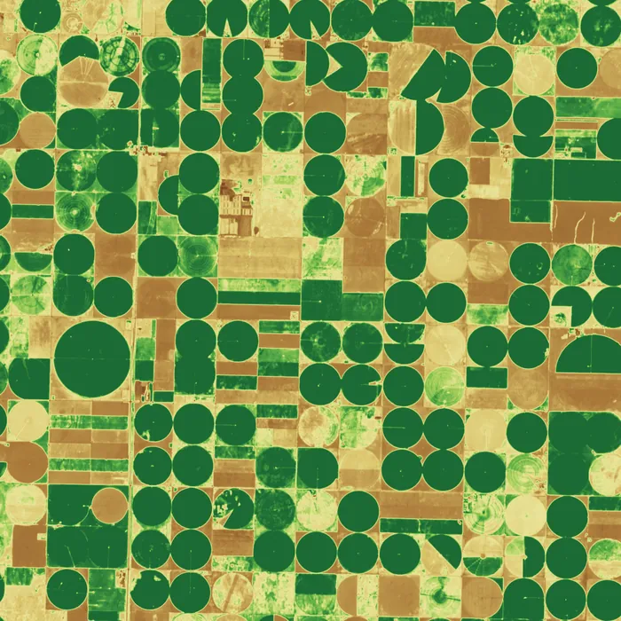
Harrow Agri: crop vigour across 410,000 hectares
Harrow sells field-level yield forecasts to grain traders. Two multispectral satellites revisit every field every 36 hours, and the vegetation index feeds the forecasting model automatically.
Three of our 23 customers, and what they use their satellites for. Each case sets out the problem, the setup and the result.
Harrow sells field-level yield forecasts to grain traders. Two multispectral satellites revisit every field every 36 hours, and the vegetation index feeds the forecasting model automatically.
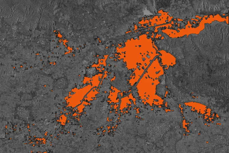
Lumen's claims team receives a flood extent map before the water has gone down, cloud or not. Radar passes at dawn are delivered about 40 minutes after downlink.
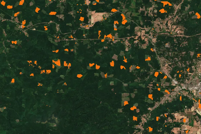
Atlas compares monthly multispectral composites against its harvest plans. Unplanned clearing is flagged within a week and sent to field teams as a polygon.
Example imagery is open data standing in for each customer's product: Contains modified Copernicus Sentinel data (2021, 2023, 2025), Sentinel-1 and Sentinel-2. Customers, figures and quotes are invented.
The same four payloads, different questions.
| Sector | Typical question | Sensor |
|---|---|---|
| Maritime and ports | How many vessels are at anchor, and who is not broadcasting | Radar, optical |
| Energy and utilities | Is vegetation touching the line, is the pipeline moving | Optical, radar |
| Mining | How big is the stockpile, is the tailings dam stable | Optical, radar |
| Climate and carbon | How much canopy changed, how hot did the city get | Multispectral, thermal |
| Government | What is built without a permit, where did the river go | Optical, radar |
We will tell you which sensor, how many satellites and what it costs.