Optical sensor, 0.9 m
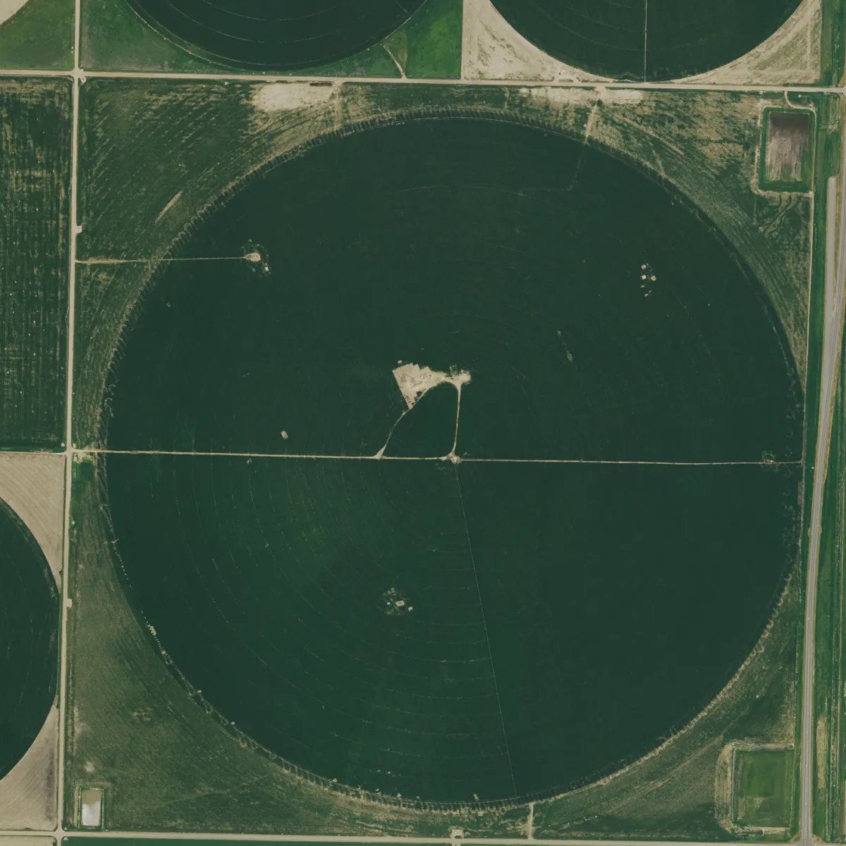
Colour imagery for anything a person would recognise from above: new buildings, damaged roofs, full car parks, stockpiles and field boundaries.
Specification
PH-O payload on the Perihel standard bus, orbit 525 km sun-synchronous.
| Ground sample distance | 0.9 m panchromatic, 3.6 m colour (nadir) |
|---|---|
| Swath width | 14 km at nadir |
| Spectral bands | Panchromatic 450 to 800 nm; blue 450 to 510, green 510 to 580, red 655 to 690, near infrared 780 to 920 nm |
| Radiometric resolution | 12 bit, signal to noise 110 at albedo 0.3 |
| Geolocation accuracy | 5 m CE90 without ground control, 2.5 m with |
| Pointing | Up to ±30° off nadir (±45° on request) |
| Revisit, one satellite | 3 days at ±30° pointing |
| Daily capacity | Up to 48,000 km² per satellite |
| Local overpass time | 10:30 descending |
| Imaging modes | Single scene, strip, stereo pair, area mosaic |
| On-board storage | 2 TB, compressed 2.5:1 |
| Downlink | X-band, 800 Mbit/s |
Products and formats
Every scene is delivered as a cloud-optimised GeoTIFF with a STAC item. Levels are cumulative: you can order L1B and reprocess to L2 later.
| Level | Content | Format | Delivery after downlink |
|---|---|---|---|
| L1B | Radiometrically corrected, sensor geometry, RPC model | COG GeoTIFF + RPB | 25 min |
| L1C | Orthorectified, top-of-atmosphere reflectance, pan-sharpened option | COG GeoTIFF | 40 min |
| L2A | Surface reflectance, cloud and shadow mask, haze removed | COG GeoTIFF + mask | 60 min |
| L3 | Seamless mosaic of a region, cloud-free composite | COG, tiled XYZ on request | Within 24 h |
Example products
Resolution and revisit
Revisit of a mid-latitude point improves with every satellite you add to the plane. See the coverage page for the ground tracks.
| Satellites | Revisit |
|---|---|
| 1 | 72 h |
| 3 | 24 h |
| 6 | 12 h |
| 12 | 6 h |
Typical uses
- Insurance and claims
- Roof condition and visible damage before and after an event, matched to policy addresses.
- Construction and infrastructure
- Progress against plan, stockpile volumes from stereo pairs, new access roads.
- Land administration
- Parcel boundaries, unregistered buildings, field-level land use.
- Defence and security
- Dated, repeatable imagery of facilities under per-customer export licences.
Sample delivery
Each scene arrives with a STAC item that any STAC client reads. Query it through our API or find it next to the data in your own bucket.
Delivered item, abbreviated
{
  "type": "Feature",
  "stac_version": "1.0.0",
  "id": "PH-OPT-20250728-173012-0412",
  "collection": "perihel-optical-l2a",
  "properties": {
"datetime": "2025-07-28T17:29:31Z",
    "perihel:level": "L2A",
    "gsd": 0.9,
    "eo:cloud_cover": 3.1,
    "view:off_nadir": 11.4,
    "proj:epsg": 32614,
    "perihel:task_id": "TSK-482913"
  },
  "assets": {
    "data": { "href": "s3://your-bucket/perihel/perihel-optical-l2a/PH-OPT-20250728-173012-0412.tif",
              "type": "image/tiff; application=geotiff; profile=cloud-optimized" },
    "metadata": { "href": "s3://your-bucket/perihel/perihel-optical-l2a/PH-OPT-20250728-173012-0412.json" }
  }
}
Questions about optical
Yes. A same-pass stereo pair gives a surface model at 3 m posting with roughly 2 m vertical accuracy. Allow two tasking slots.
Tasking can wait for a clear window. You set a maximum cloud cover (default 20 percent) and we retry on the next pass until it is met; failed attempts are not charged.
Optical above 0.5 m needs an export licence, which we handle. At 0.9 m most customers are cleared within two weeks; see the compliance page.
Task a optical satellite
Tell us the area and the revisit you need. An engineer replies with orbit, sensor and fee.